
Drone roof and façade inspections
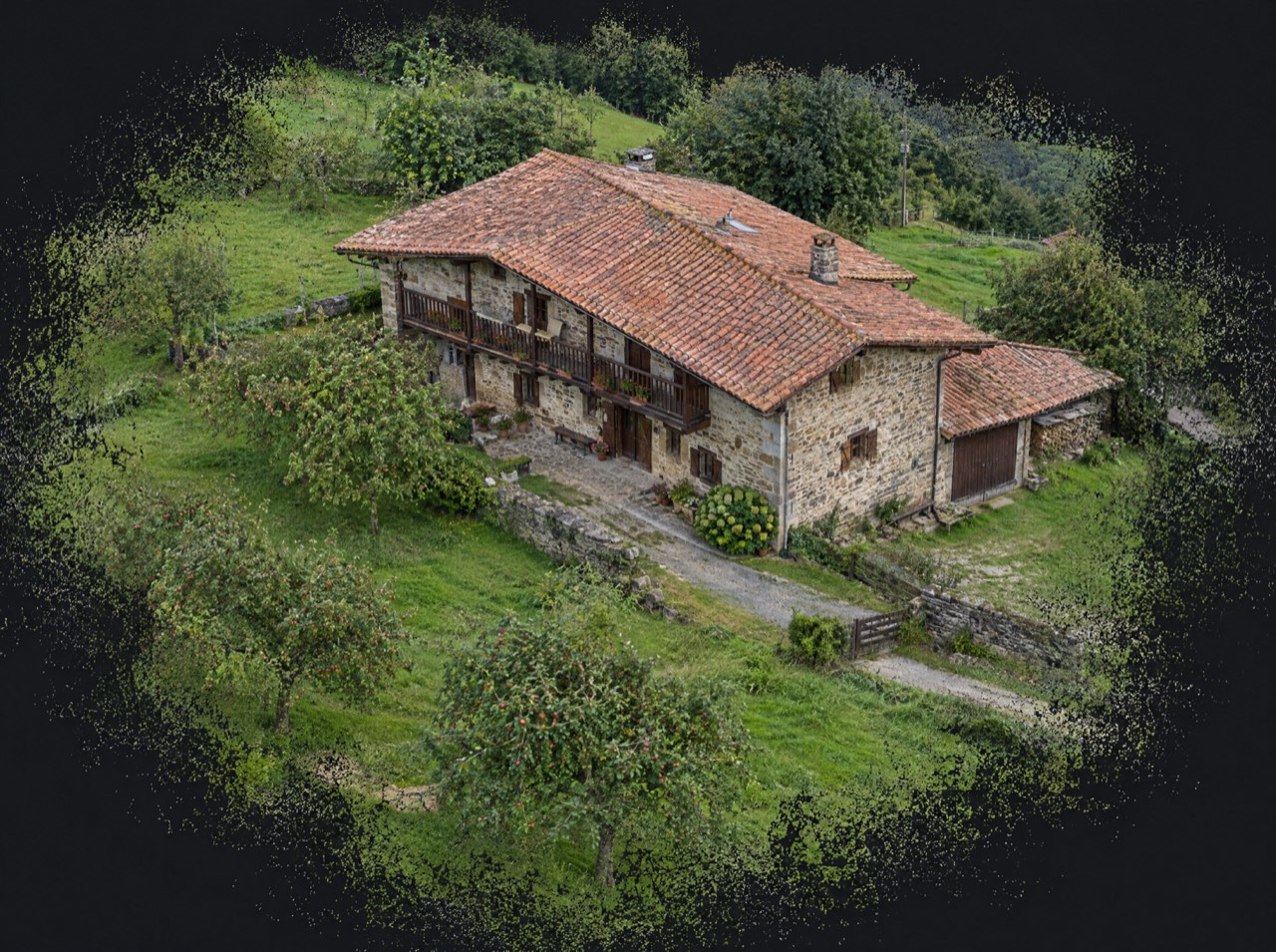
Check a roof without scaffolding, lifts or anyone climbing up. With the drone's 70 mm telephoto we photograph broken tiles, gutters, chimneys and façades in detail and deliver a visual report with every issue located, so the surveyor or insurer can decide.
What's included
- Perimeter and top-down roof flight
- Zoomed detail photos of every issue
- Visual report with each point located
- Video of the whole roof
- Optional before/after repair photos
Made for
- Homeowner associations
- Property managers
- Loss adjusters and insurers
- Renovation companies
- Homeowners
Starting prices, VAT not included, based in the Basque Country. Every flight is different: you get a fixed quote before the propellers spin.
Why inspect a roof with a drone
Climbing onto a roof costs money and carries risk. A drone inspection is quick, needs no scaffolding and leaves a photo record for repair quotes, insurance claims or before/after comparisons.
Visual, not thermal
We do high-resolution visual inspections. We don't offer thermal imaging (detecting damp or insulation faults by temperature) because it requires a thermal camera we don't have.
From a map pin to delivery
- 01
Brief
Send us the location (or a map pin), what you want to achieve and when. We reply with a flight plan and a fixed price.
LAT · LON · GOAL - 02
Permits
We check UAS geographical zones and handle whatever is needed: Interior Ministry, ENAIRE, heliports, ADIF or the landowner.
ENAIRE · AESA · EASA - 03
Flight
We fly with purposely chosen light and weather, within visual line of sight and with Remote ID. If the weather doesn't cooperate, we reschedule at no cost.
ALT ≤ 120 m · VLOS - 04
Delivery
Edited photos, finished video, maps, 360° panoramas or 3D models, in the format you need and with the coordinates of every shot when they matter.
JPG · RAW · MP4 · PDF · KMZ
Drone roof inspection · Frequently asked questions
Can you detect damp?
Visible damp, yes. Hidden damp requires thermal imaging, which we don't offer.
Is it useful for an insurance claim?
Yes, dated and located photos are good evidence for the loss adjuster.
Other drone services
Permits are on us
Flying well isn't just piloting. We check UAS geographical zones and handle notifications with the Spanish Ministry of the Interior, ENAIRE (air navigation), heliport and aerodrome operators, ADIF (railways) or landowners. You just choose the shot.
We don't do thermal imaging, LiDAR, multispectral agriculture or light shows: they need equipment we don't have. If you need them, we'll point you in the right direction.
- UAS operator
- Registered with AESA (Spain)
- Pilot
- A1/A3 certificate, valid across the EU
- Aircraft
- DJI Air 3 · C1 class
- Identification
- Remote ID active
- Lenses
- 24 mm + 70 mm · 1/1.3″ CMOS
- Flight time
- Up to 46 min per battery
Where are
we flying?
Send us the location and what you need. We'll reply with a flight plan, the permits required and a fixed price.
Getxo · Bilbao · Basque Country — flying across Spain and Europe