Real views from every floor to sell off-plan property
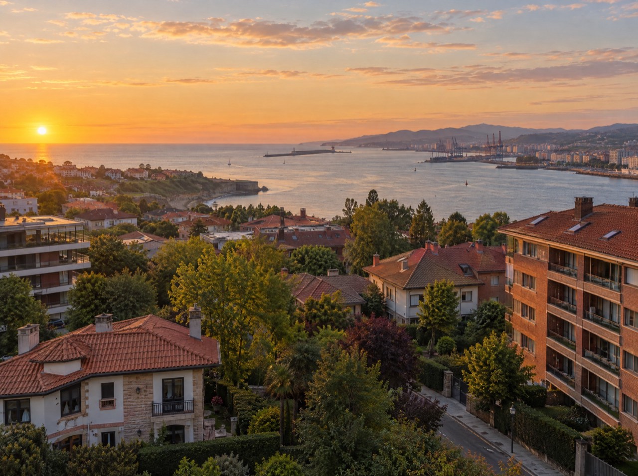
When a development is off-plan, the view is what sells most and what you can show least. We photograph it: the drone goes to the building's coordinates and the exact height of every floor, shooting all four directions. The buyer of 5B sees the real view from their terrace.
What's included
- Up to 8 heights × 4 directions
- Floor heights calculated from the architectural plans
- Sheet per apartment or direction, ready for the brochure
- High-resolution photos for web and sales suite
- Optional: photomontage with the building render
Made for
- New-build developers
- Sales agencies
- Architecture studios
- 3D render studios
Starting prices, VAT not included, based in the Basque Country. Every flight is different: you get a fixed quote before the propellers spin.
How floor-level view photos are made
We use the development's plans to calculate the height of every floor above ground. We take off on site, position the drone where the building will stand and climb floor by floor, shooting north, east, south and west with a perfectly level horizon.
Pricing and maximum heights
From €490 for up to 6 heights and 4 directions. In the open category we can fly up to 120 m above ground; inside airport controlled airspace, as in much of Bilbao or Madrid, the practical limit without coordination is 60 m, about 18–20 floors.
From a map pin to delivery
- 01
Brief
Send us the location (or a map pin), what you want to achieve and when. We reply with a flight plan and a fixed price.
LAT · LON · GOAL - 02
Permits
We check UAS geographical zones and handle whatever is needed: Interior Ministry, ENAIRE, heliports, ADIF or the landowner.
ENAIRE · AESA · EASA - 03
Flight
We fly with purposely chosen light and weather, within visual line of sight and with Remote ID. If the weather doesn't cooperate, we reschedule at no cost.
ALT ≤ 120 m · VLOS - 04
Delivery
Edited photos, finished video, maps, 360° panoramas or 3D models, in the format you need and with the coordinates of every shot when they matter.
JPG · RAW · MP4 · PDF · KMZ
Real views from every floor · Frequently asked questions
How high can you go?
Up to 120 m above ground in the open category. Inside airport control zones, without extra coordination, the practical limit is 60 m, about 18–20 floors.
Does the building need to exist?
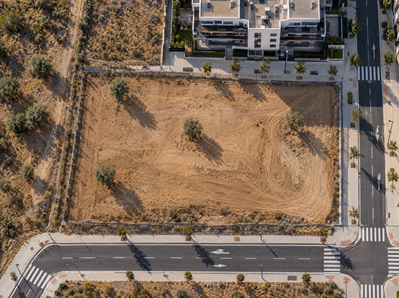
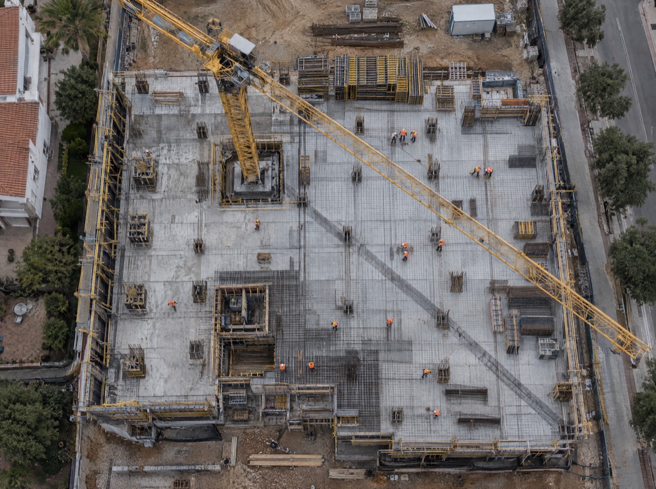
No, that's the point: we do it on the empty plot, before or during construction.
Other drone services
Permits are on us
Flying well isn't just piloting. We check UAS geographical zones and handle notifications with the Spanish Ministry of the Interior, ENAIRE (air navigation), heliport and aerodrome operators, ADIF (railways) or landowners. You just choose the shot.
We don't do thermal imaging, LiDAR, multispectral agriculture or light shows: they need equipment we don't have. If you need them, we'll point you in the right direction.
- UAS operator
- Registered with AESA (Spain)
- Pilot
- A1/A3 certificate, valid across the EU
- Aircraft
- DJI Air 3 · C1 class
- Identification
- Remote ID active
- Lenses
- 24 mm + 70 mm · 1/1.3″ CMOS
- Flight time
- Up to 46 min per battery
Where are
we flying?
Send us the location and what you need. We'll reply with a flight plan, the permits required and a fixed price.
Getxo · Bilbao · Basque Country — flying across Spain and Europe