Drone filming for sports and outdoor brands
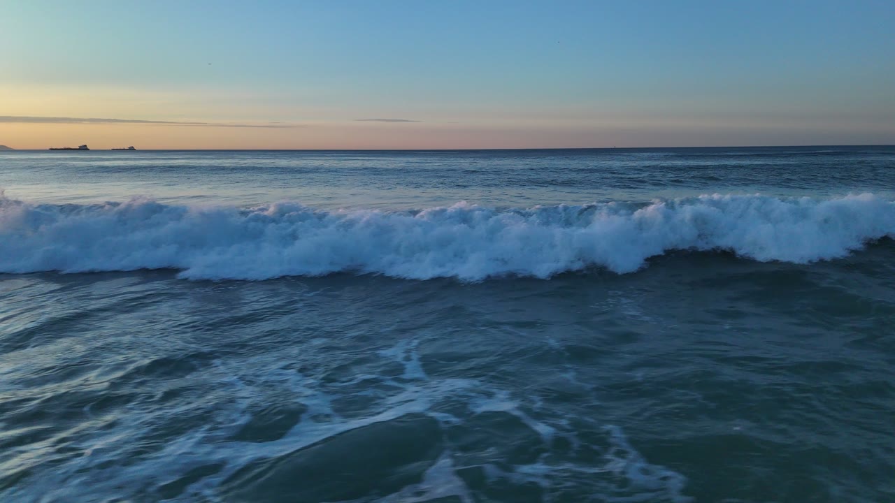
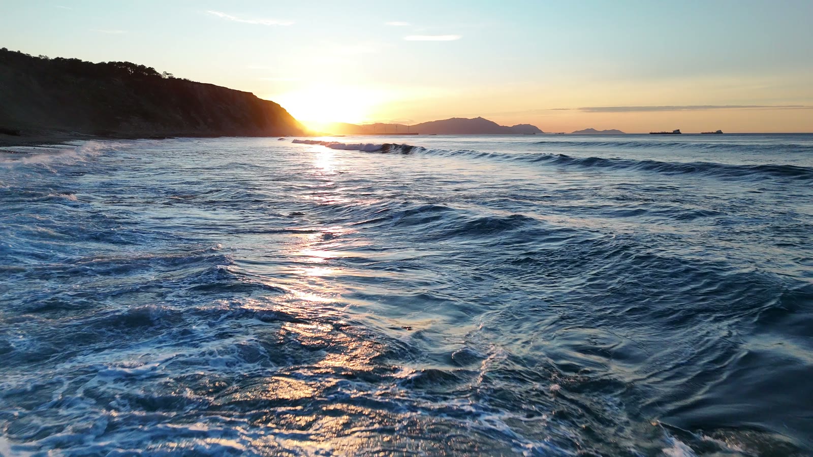
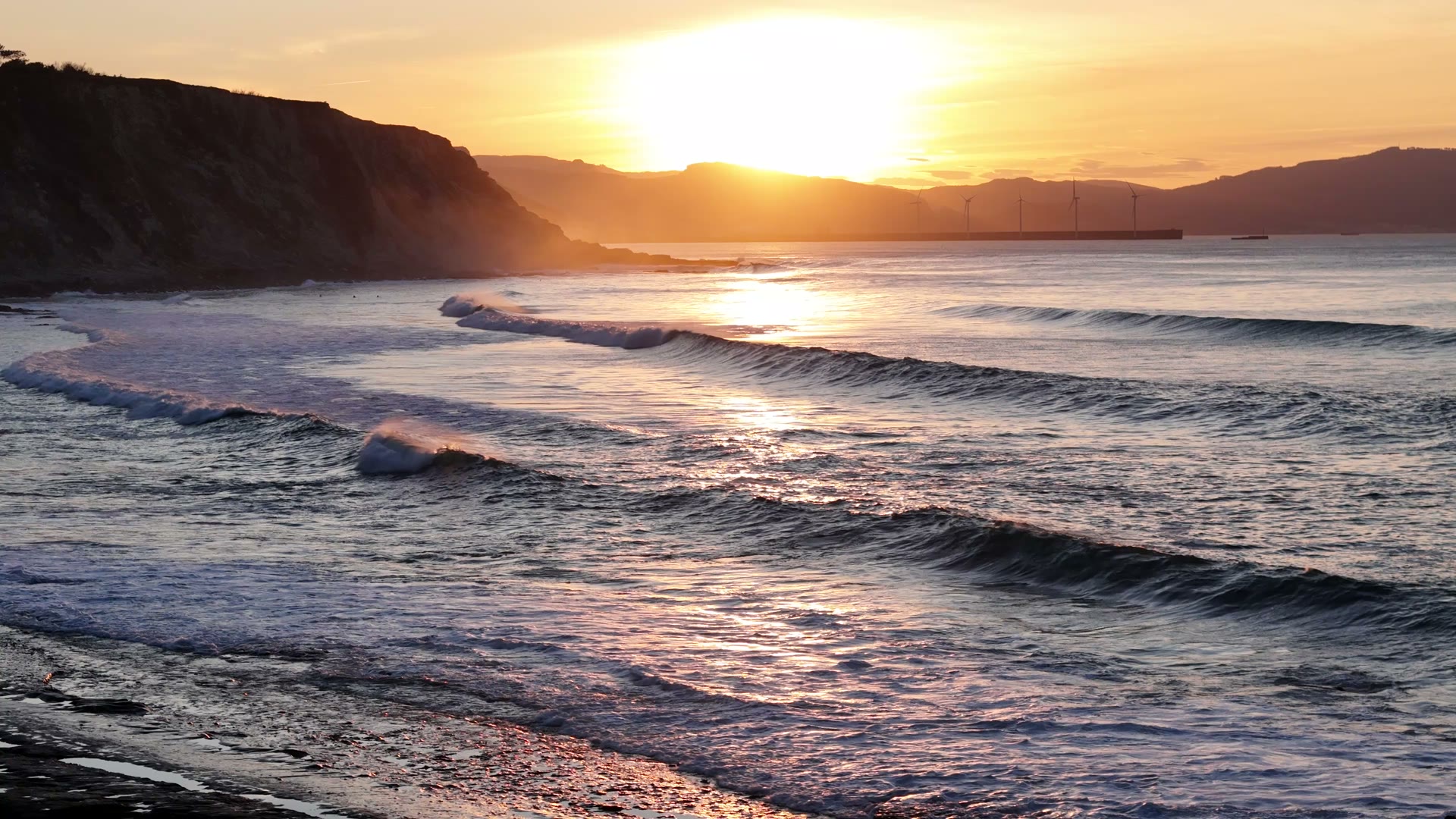
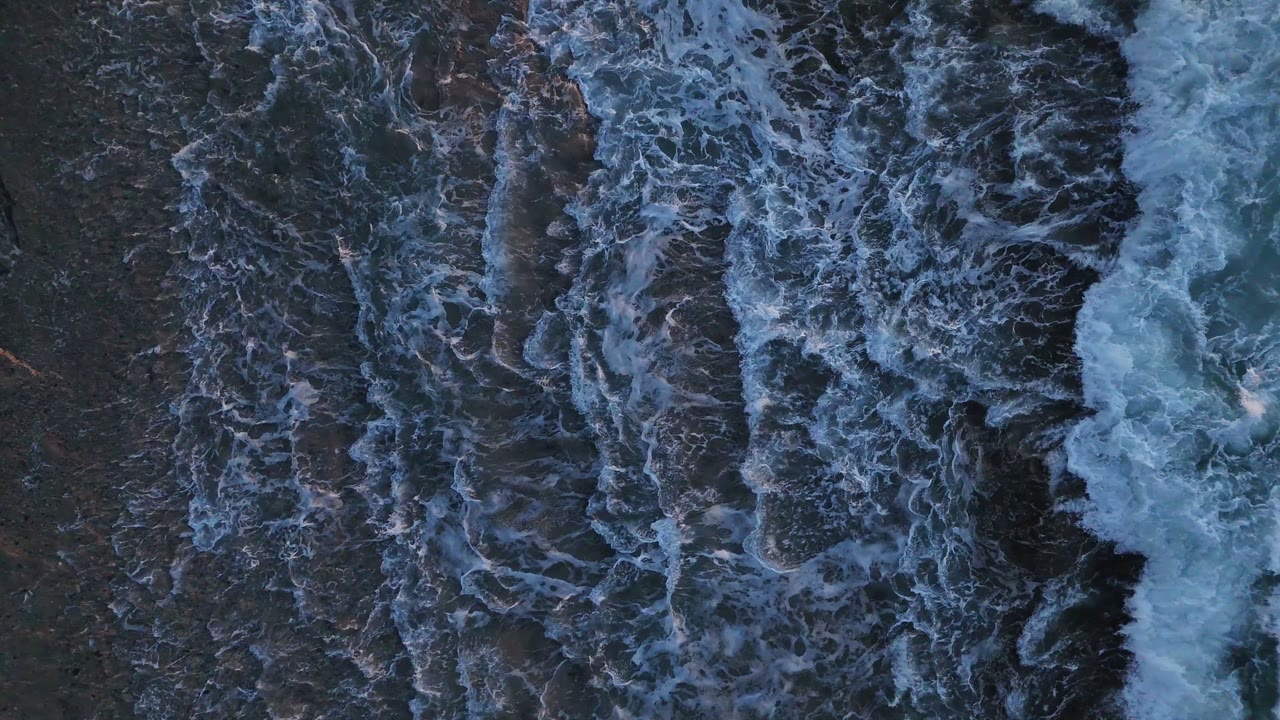
Sport reads better from above: the line of a wave, the shape of a trail, the wake of a boat. We film for athletes, clubs, events and outdoor brands, with tracking shots designed for the edit and slow motion for the key moment.
What's included
- Tracking and reveal shots
- Slow motion (up to 100 fps in 4K)
- Vertical versions for social
- Optional edit with music
Made for
- Outdoor and gear brands
- Surf and water sports
- Trail and cycling
- Clubs and events
- Surf schools
Starting prices, VAT not included, based in the Basque Country. Every flight is different: you get a fixed quote before the propellers spin.
Work · Sports and outdoor filming
Real photos and footage, shot by us.
From the Bay of Biscay to the mountains
The Basque coast has some of Europe's best waves, from Mundaka to Sopela and Bakio, with mountains half an hour from the sea: a perfect setting for sports and adventure brands.
Safety at events with spectators
At races and competitions we never fly over spectators or crowds, as the rules require. We plan side positions and spectator-free sections to get the shots safely.
From a map pin to delivery
- 01
Brief
Send us the location (or a map pin), what you want to achieve and when. We reply with a flight plan and a fixed price.
LAT · LON · GOAL - 02
Permits
We check UAS geographical zones and handle whatever is needed: Interior Ministry, ENAIRE, heliports, ADIF or the landowner.
ENAIRE · AESA · EASA - 03
Flight
We fly with purposely chosen light and weather, within visual line of sight and with Remote ID. If the weather doesn't cooperate, we reschedule at no cost.
ALT ≤ 120 m · VLOS - 04
Delivery
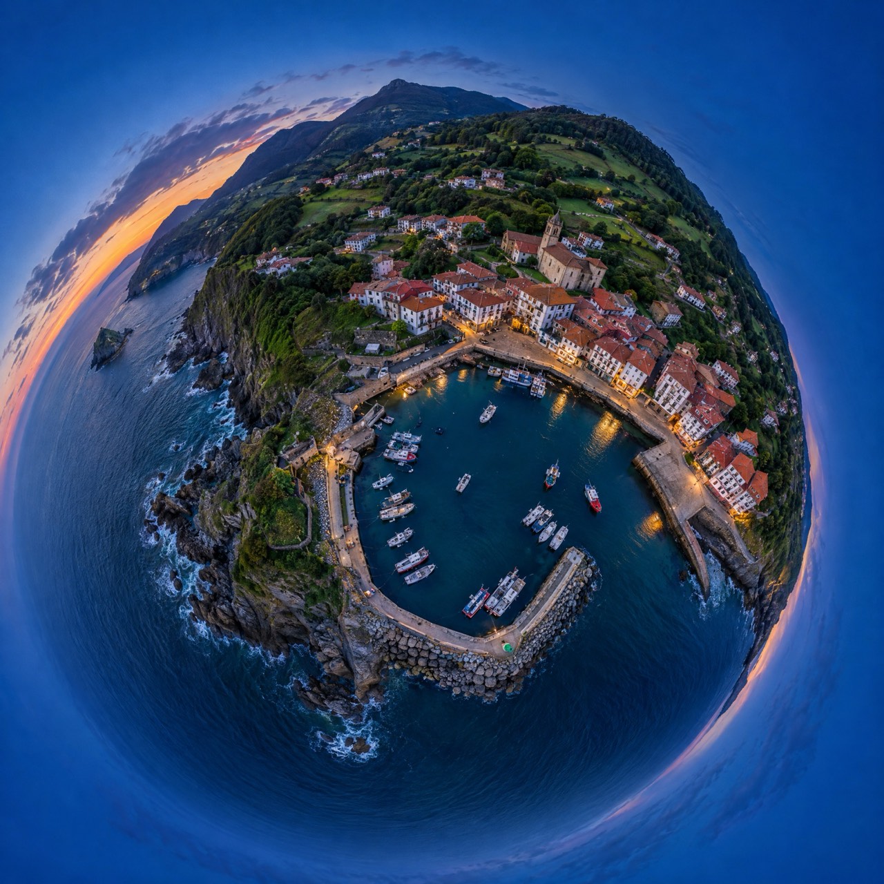
Edited photos, finished video, maps, 360° panoramas or 3D models, in the format you need and with the coordinates of every shot when they matter.
JPG · RAW · MP4 · PDF · KMZ
Sports and outdoor filming · Frequently asked questions
Can you follow a surfer or a runner?
Yes, with manual or assisted tracking, always at a safe distance and never over third parties.
Other drone services
Permits are on us
Flying well isn't just piloting. We check UAS geographical zones and handle notifications with the Spanish Ministry of the Interior, ENAIRE (air navigation), heliport and aerodrome operators, ADIF (railways) or landowners. You just choose the shot.
We don't do thermal imaging, LiDAR, multispectral agriculture or light shows: they need equipment we don't have. If you need them, we'll point you in the right direction.
- UAS operator
- Registered with AESA (Spain)
- Pilot
- A1/A3 certificate, valid across the EU
- Aircraft
- DJI Air 3 · C1 class
- Identification
- Remote ID active
- Lenses
- 24 mm + 70 mm · 1/1.3″ CMOS
- Flight time
- Up to 46 min per battery
Where are
we flying?
Send us the location and what you need. We'll reply with a flight plan, the permits required and a fixed price.
Getxo · Bilbao · Basque Country — flying across Spain and Europe